Melbourne City 3D
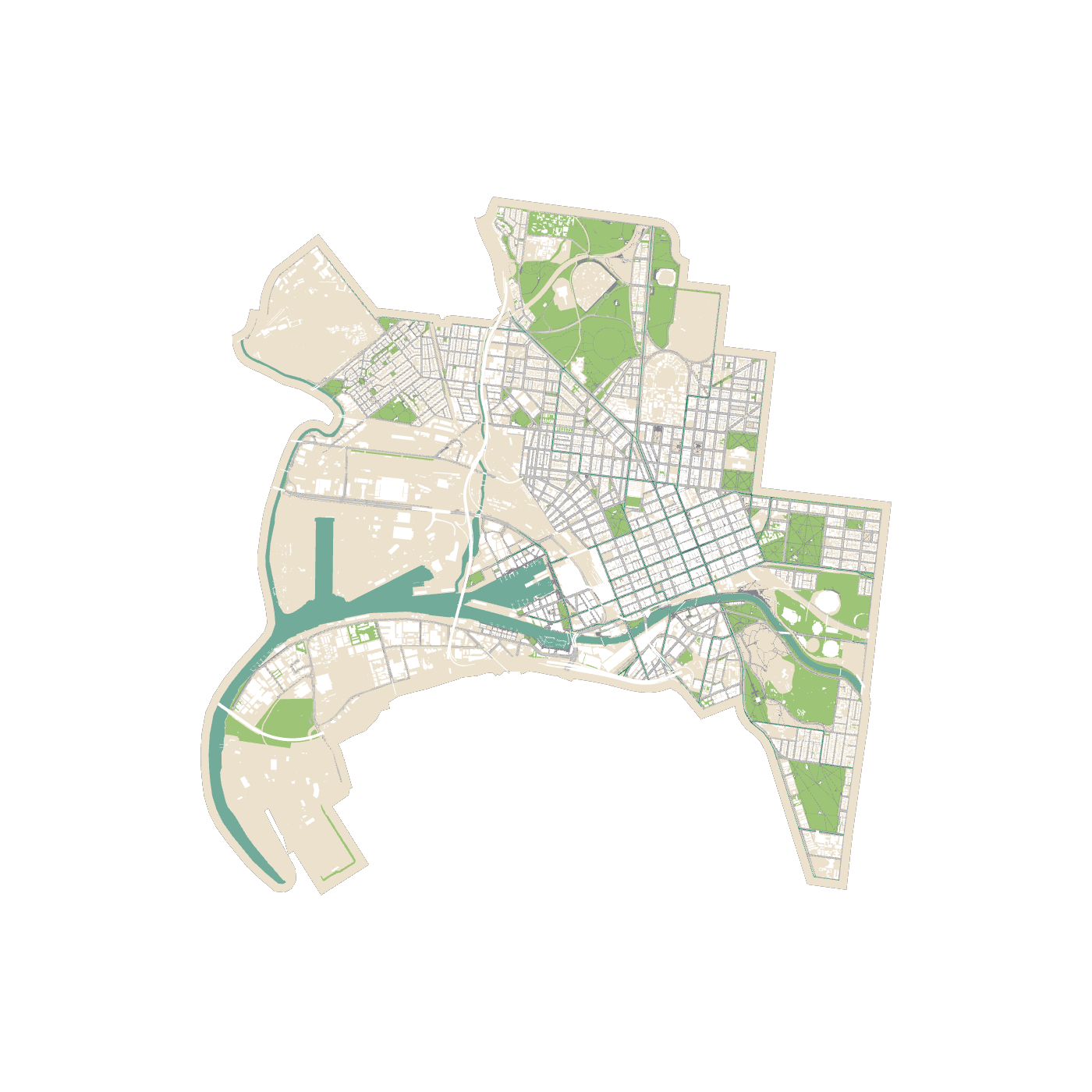
3D models are created from open data published by the City of Melbourne, including Building Footprint 2020, Road Corridor and Surfaces, Property Boundaries, Municipal Boundary, Marine Berths, etc.. Building min elevations are set to 0 and topography is ignored, thus the whole site is modelled flat.
Source: data.melbourne.vic.gov.au Engine: threejs.org